
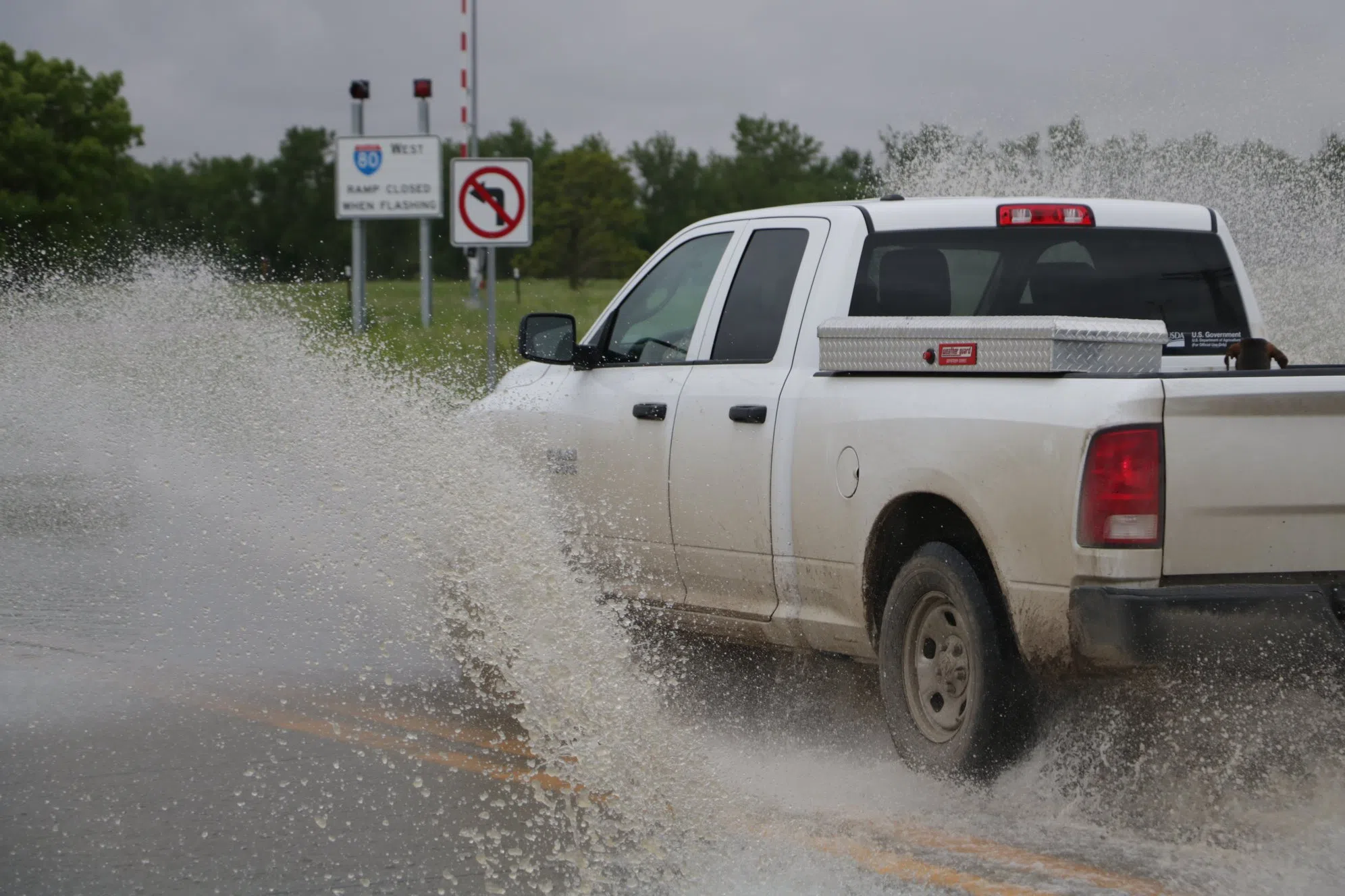
Flooding in central Nebraska (Brian Neben, Courtesy)
HASTINGS — The National Weather Service – Hastings released their third spring flood outlook, which remains below average across the majority of their warning area.
Spring flood outlooks are routinely issued from February through March to give advanced notice of possible flooding. They are based on soil moisture, snowpack magnitude, stream flow conditions, and the long-range forecast of future precipitation patterns.
The precipitation outlook through the end of March generally favors above normal precipitation and then trends towards equal chances thereafter as we head through April, May, and into early June.
Therefore, overall, through most of the spring we don’t see strong signals one way or the other regarding expected precipitation relative to normal. Therefore, it may be difficult for some of our area to climb out of the drought this spring, despite official drought outlooks leaning toward improvement.
There are several primary factors leading to our below average threat for spring flooding.
- The local snowpack is negligible to non-existent.
- The mountain snowpack in the Platte River Basin is near normal, but there is plenty of reservoir capacity.
- Lake McConaughy is just over 60 percent capacity and has plenty of storage space available.
- Soil moisture is drier than normal in many locations given the ongoing moderate to severe drought. We do have some locations that have come out of the drought, but even in these areas soil moisture is just near normal at best. Consequently, the soil is still capable of absorbing plenty of moisture thus limiting spring flood potential.
- Current streamflow on our biggest rivers is averaging near normal to below normal.
- The longer-range outlook of April through June indicates equal chances with no strong indicators one way or the other.
It is important to mention that isolated or localized flooding is still possible even in dry years and when the overall risk of widespread flooding is low. Isolated heavy spring thunderstorms will still be capable of producing localized areas of flooding.
Meteorological Winter 2023-24 Precipitation Review
Following is an overview/recap of precipitation trends across the NWS Hastings coverage area during the recently ended “meteorological winter” 2023-24 season, which consisted of the calendar months of December, January and February. Please note that our 30-county coverage area includes 24 counties in central, south-central Nebraska and six counties in north central Kansas.
As evidenced in the data presented in the table below, and supported by AHPS precipitation analysis, this meteorological winter featured modestly above normal precipitation across nearly our entire coverage area, despite the last three weeks of February being very dry.
More specifically, most of our area received somewhere between 2.00-4.00 inches of seasonal precipitation, including melted snow. This equates to most of our receiving 100-200 percent of normal for the winter season.
Although much of this precipitation fell as snow during January, quite a bit of it fell as rain during December and early February. Although not a large or significant difference, the overall wettest locations mainly favored eastern/southern portions of our area, with the overall-driest locations mainly concentrated in western and northern counties.
In fact, of mainly our far western coverage area, including Furnas County, actually received slightly below normal winter precipitation.
Per official NWS cooperative observer and airport stations, a few of the wettest locations in our area from Dec-Feb included: Plainville Kan., 4WNW (5.17 inches), Smith Center KS (5.03 inches) and Hebron (4.42 inches).
In fact, this ended up being the second wettest winter on record at both the Plainville and Smith Center stations. Meanwhile, a few of the driest official observation sites in our area this winter ended up being Cambridge (1.51 inches), Edison (1.97 inches) and Greeley (2.04 inches).
Meteorological Winter Drought Recap
Thanks to the aforementioned above normal precipitation this winter (and in particular the fact that much of it fell as rain and efficiently soaked into the soil), there was an unusually-significant improvement in drought categories across much of our coverage area from Dec-Feb.
At the start of December, 64 percent of our coverage area was under drought categories ranging from Moderate (D1) to Exceptional (D4), including 36 percent of the area in worst-off D3 and D4, primarily focused east of Highway 281 in Nebraska and also in parts of north central Kansas.
However, the winter months only brought gradual improvement, and as of the Feb. 29 USDM issuance our entire coverage area is void of all Extreme (D3) and Exceptional (D4) Drought categories.
That being said, half of our area remains under Moderate (D1) or Severe (D2) drought, with D2 dominating most local Nebraska counties along/east of Highway 281. In the “best news of all” department, 31 percent of our coverage area is currently indicated to be void of all drought categories whatsoever (even Abnormally Dry D0), including large parts of several counties mainly west of the Highway 281 corridor.
Meteorological Spring – March through May
Turning to the meteorological spring months of March-April-May as a whole, the latest Climate Prediction Center (CPC) three-month outlook, issued Feb. 15., indicates a slight lean toward above normal precipitation (primarily driven by expectations of a somewhat- wet March), along with “Equal chances” for temperatures to be above normal, below normal or near normal.
This means that there are no clear signals in current longer-range forecast data to lean toward one of these outcomes over another. Based on 30-year normal, total March-May precipitation across the NWS Hastings coverage area typically ranges from 7-10 inches, with the lowest amounts generally west of Highway 183 and highest amounts near the Highway 81 corridor.


