
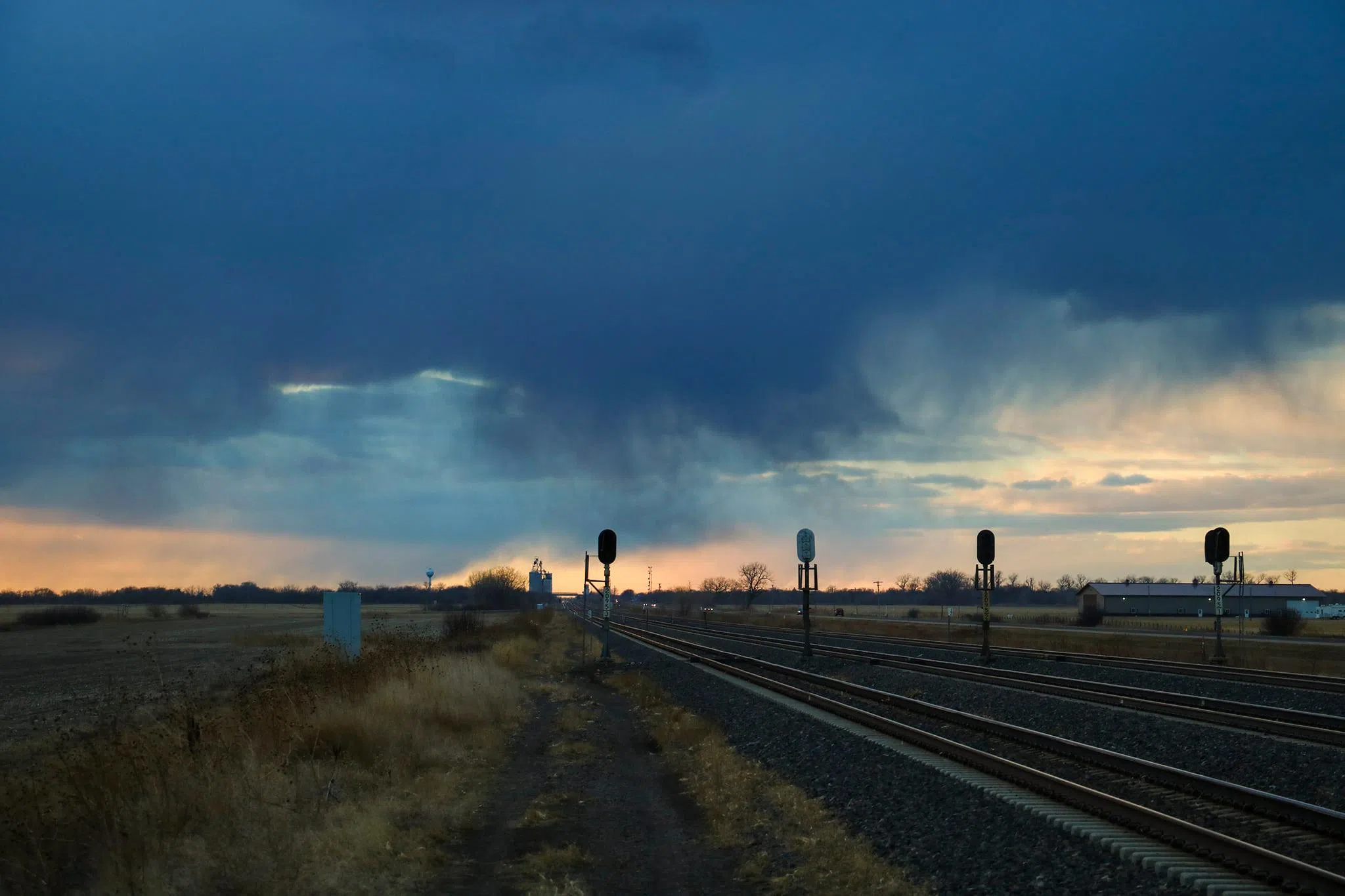
Rain curtains and virga in central Nebraska, (Brian Neben, Courtesy)
HASTINGS — Another round of showers is expected across the Tri-Cities Tuesday morning. There will be a gradual warm up during the work week, followed by more showers and thunderstorm chances Saturday evening.
According to the National Weather Service – Hastings, an upper-level trough of low pressure will move east across the area today. This will contribute to continued rainfall throughout the evening and into Tuesday morning.
Rainfall amounts will be light, around 0.10 to 0.25 inches, any snowfall will be trace amounts up to a tenth of an inch. As the system clears the area Tuesday morning, skies will become mostly clear and temperatures will be warmer than Monday.
“Highs are expected to reach the 50s but it will not exactly be comfortable, as northerly winds gusting to 30-35 mph are expected, especially in the afternoon,” per NWS Hastings.
By Wednesday, the area will be under northerly flow and will be in between the recently departed low pressure area and high-pressure ridging approaching from the west.
“With relatively cold air still streaming in from the north, highs Wednesday will not be a lot warmer, only in the 50s and low 60s. It will still be breezy too, with northwest winds gusting to 20-25 mph,” NWS Hastings states.
The impact of the upper ridge will finally be felt on Thursday through Sunday, with lighter winds and warmer temperatures. Highs Thursday will be in the 60s, on Friday will be in the 60s and 70s and 70 across the entire area on Saturday.
The next storm system will be across the Plains and bring a chance for showers and thunderstorms. Its too early for models to have locked down the details, but early indications suggest that there might be enough instability for storms to be on the stronger side.


