HASTINGS — A High Wind Watch and Winter Storm Watch are in place for swaths of central Nebraska starting on Tuesday, March 4.
The High Wind Warning includes a large part of central Nebraska, including the Tri-Cities. The warning is in effect from 12 p.m. Tuesday through 12 p.m. on Wednesday, March 5.
Winds will blow out of the north to northwest, sustained winds will be around 35-45 mph with gusts reaching 60 mph. The strongest winds will occur Tuesday afternoon through Tuesday night.
“Travel may be difficult, particularly for high profile vehicles. The combination of strong winds and light snow may result in near-blizzard conditions for parts of the area,” according to the National Weather Service – Hastings.
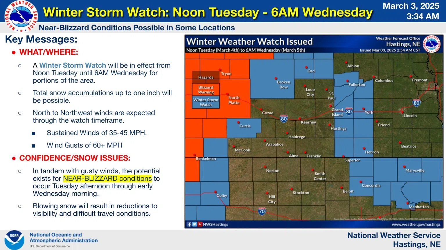
There is a Winter Weather Watch out for more limited parts of the area, mainly east of Highway 281 and to the north including Ord. The National Weather Service – North Platte has included Custer and Frontier counties in the watch, there is a Blizzard Warning for western Nebraska, including Lincoln County.
The watch is for blizzard conditions that will be in effect from 12 p.m. Tuesday until 6 a.m. on Wednesday. Total snow accumulation up to one inch is possible, blowing snow will cause reductions in visibility and create difficult travel conditions.