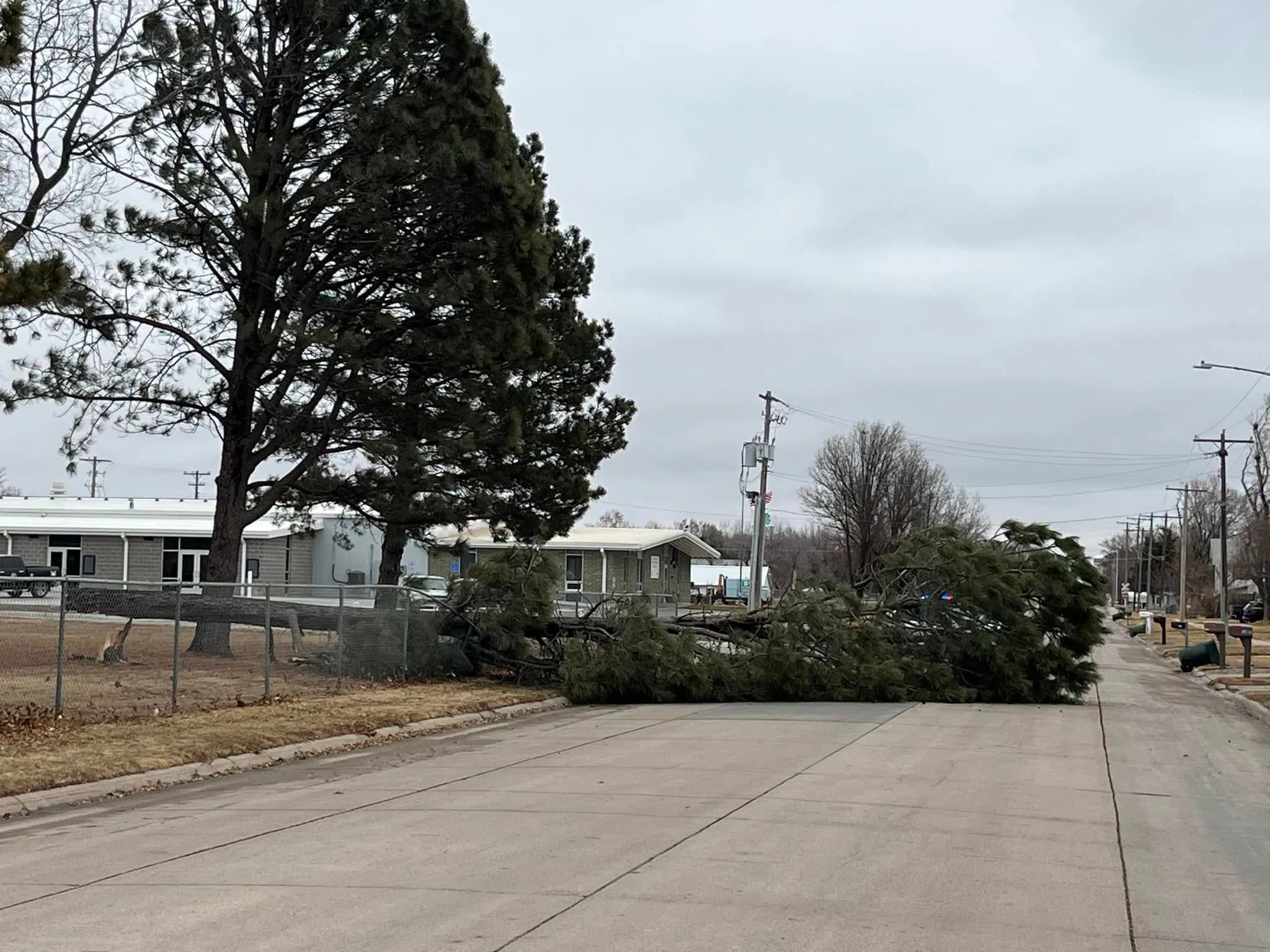
A tree that was blown down at the Buffalo County Fairgrounds due to the severe winds on Tuesday, March 4, (Kearney Police Department, Courtesy)
HASTINGS — Severe wind gusts, over 58 mph, were reported across south central Nebraska as a strengthening low-pressure system moved across the central United States.
A High Wind Warning was in effect until 12 p.m., Wednesday, March 5 due to sustained winds of 35-45 mph with some gusts as high as 55 to 65 mph.
While severe wind gusts can be common with thunderstorms in the spring, these were severe winds produced by the pressure gradient created by a deepening low-pressure system that was moving across the United States.
Mike Mortiz, Warning Coordination Meteorologist with the National Weather Service – Hastings said that these type of severe wind days happen around three to six times a year, generally in early spring and also in November.
Mortiz said Tuesday was “significant” in particular because of the duration of the strong to severe winds, around 18-20 hours, and the fact the stronger winds would continue until after dark.
For context a wind gust is considered severe if it exceeds 58 mph.
A 62-mph wind gust was reported at Gothenburg, 60 mph gusts at Kearney and Ragan, 59 mph at Sherman Reservoir, Minden, Lexington and Ord.
It was noted that all of the NWS Hastings warning area could see 60 mph wind gusts by 6 p.m. on Tuesday.
It was noted that wind gusts would be an issue for high profile vehicles and could bring down trees. One tree was blown down at the Buffalo County Fairgrounds and fell to block E. 34th St. for a time before it was removed by City of Kearney crews.
Mortiz noted other significant wind events that occurred on Dec. 15, 2021, with a line of severe thunderstorms that moved through the area which was followed by severe winds and Dec. 25, 2016, which produced tornadoes on Christmas and was followed by 80 mph wind gusts.