
VALLEY CO. — A powerful supercell thunderstorm formed along a dryline during the early evening hours of Thursday, June 19.
This storm would cause extensive damage to the west grandstands to the rodeo arena in Burwell, large hail would be reported in both Garfield and Valley counties.
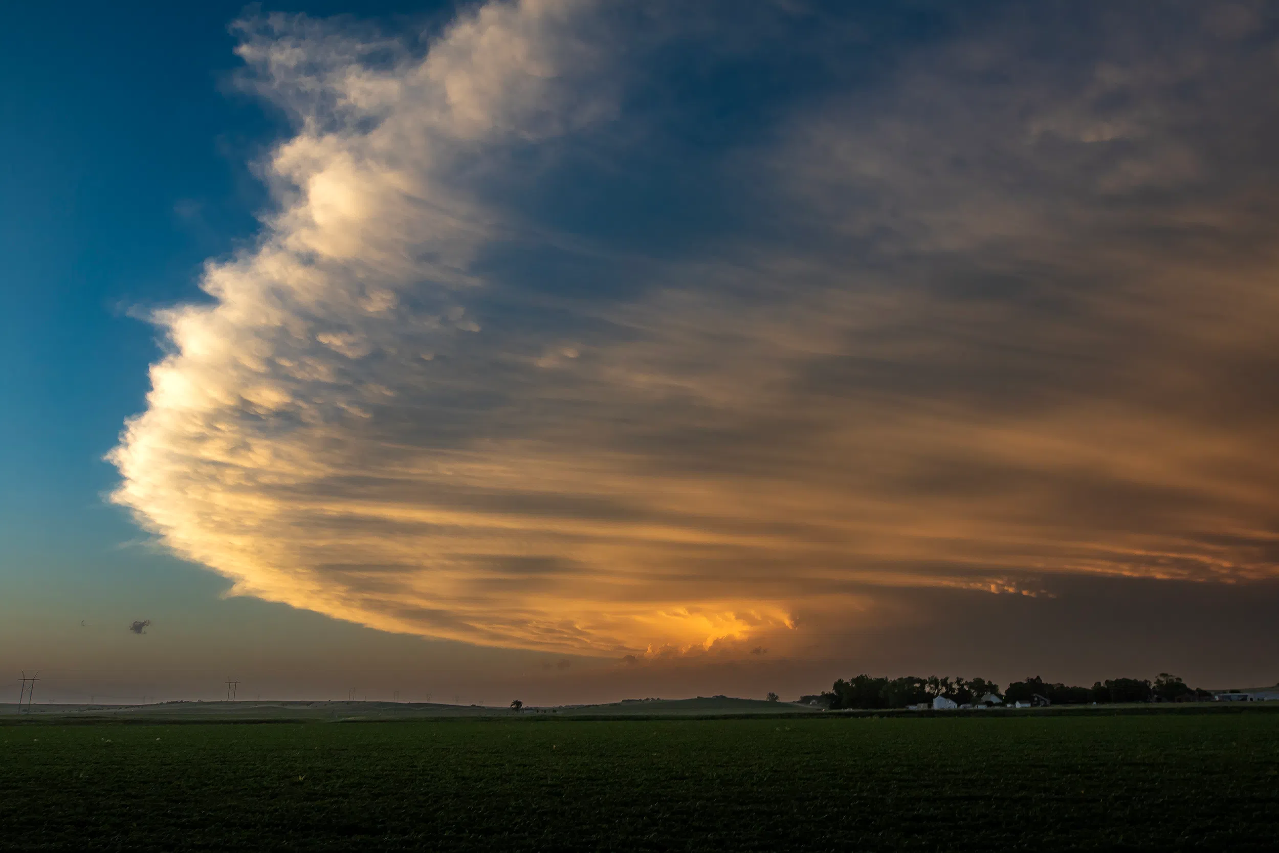
The photos show the anvil of the parent supercell.
An anvil forms when the storm’s updraft collides with the upper levels of the lowest layer of the atmosphere, or the tropopause, and has nowhere else to go due to the laws of fluid dynamics- specifically pressure, humidity, and density, in simple terms, the packet of air has lost its buoyancy and cannot rise higher.
The anvil is very cold and virtually precipitation-free even though virga can be seen falling from the forward sheared anvil.
Since there is so little moisture in the anvil, winds can move freely. The clouds take on their anvil shape when the rising air reaches, 50,000–70,000 feet or more.
The anvil’s distinguishing feature is that it juts out in front of the storm like a shelf. In some cases, it can even shear backwards, called a backsheared anvil, another sign of a very strong updraft.
Photos by Brian Neben, Courtesy


