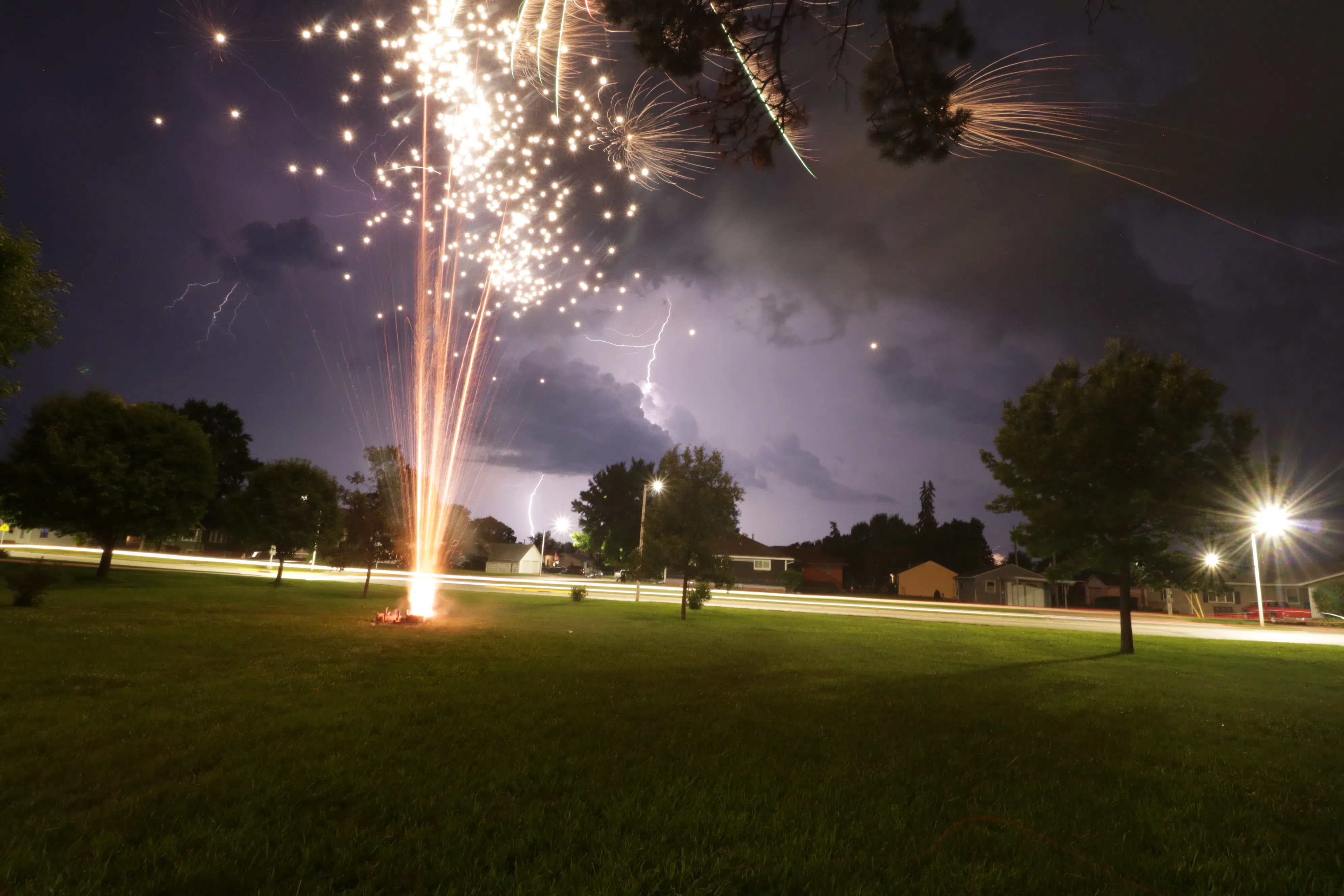
Fireworks light up the night as a thunderstorm approaches Lexington on July, 4, 2019, (Brian Neben, Courtesy)
HASTINGS — A three-day warming trend will start on Tuesday with highs reaching the 90s by Thursday. Chances for thunderstorms return on the evening of the Fourth of July.
After the thunderstorms that started off the work week early on Monday, northwest flow aloft will remain in place over the region while a ridge of high pressure builds in the western United States, according to the National Weather Service – Hastings.
A three-day warming trend will start on Tuesday, July 1, with highs in the mid to upper 80s. By Thursday, highs look to reach the low to mid 90s. During Tuesday and Thursday nights, there are scattered chances for storms, but severe weather is not anticipated.
By Friday, July 4, the ridge shifts farther east and eventually exits the local region over Iowa and Minnesota. This will place the Great Plains under southwest flow and models are hinting at an upper-level disturbance ejecting out over western and central Nebraska by late Friday afternoon.
The Fourth of July evening into early Saturday morning, will see the best chance for precipitation, 40-60 percent, across the region.
“Models are showing a series of disturbances Friday into the weekend, bringing periodic chances for showers and storms to the region. High temperatures over the weekend will be in the 80s. Lows will be in the 60s,” per NWS Hastings.