
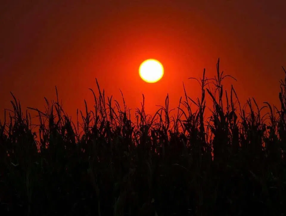
October sunset over a corn field in central Nebraska, (Brian Neben, Courtesy)
HASTINGS — Those hoping for more fall-like conditions will have to keep waiting as above average temperatures will remain in place for the rest of the week. Precipitation chances will return Saturday evening.
According to the National Weather Service – Hastings, widespread cloud cover should keep temperatures slightly cooler today than yesterday, with highs in the upper 70s and low 80s.
Southerly winds will be breezy again this afternoon, with the strongest gusts up to 20-30 mph being located west of Highway 281.
A passing shortwave disturbance will move into the Plains Tuesday evening through Wednesday morning. Lift from this system and the low-level jet could cause scattered showers on Wednesday morning.
However, dry air at the surface could lead to any precipitation evaporating before it reaches the surface. As a result, accumulation will be less than 0.05 inches. Skies will clear in the afternoon, and temperatures will climb back into the mid-80s.
A weak ridge of high pressure will build over the area on Thursday and Friday and well above normal temperatures are expected, with highs in the mid-80s to low 90s, which is 10-15 degrees above climatological norms.
Breezy conditions are expected on Friday, with gusts up to 20-30 mph.
Another warm and breezy day will be expected during the daytime hours on Saturday ahead of an approaching longwave trough of low pressure.
Models are still unsure of the timing, strength and overall position of the trough, but a cold front is expected to push its way through the area Saturday night through Sunday morning. Scattered thunderstorm development along the front brings the next best chances for precipitation.
Cooler weather is expected behind the cold frontal passage on Monday, with highs in the mid-60s to low 70s.


