Brian Neben, Central Nebraska Today
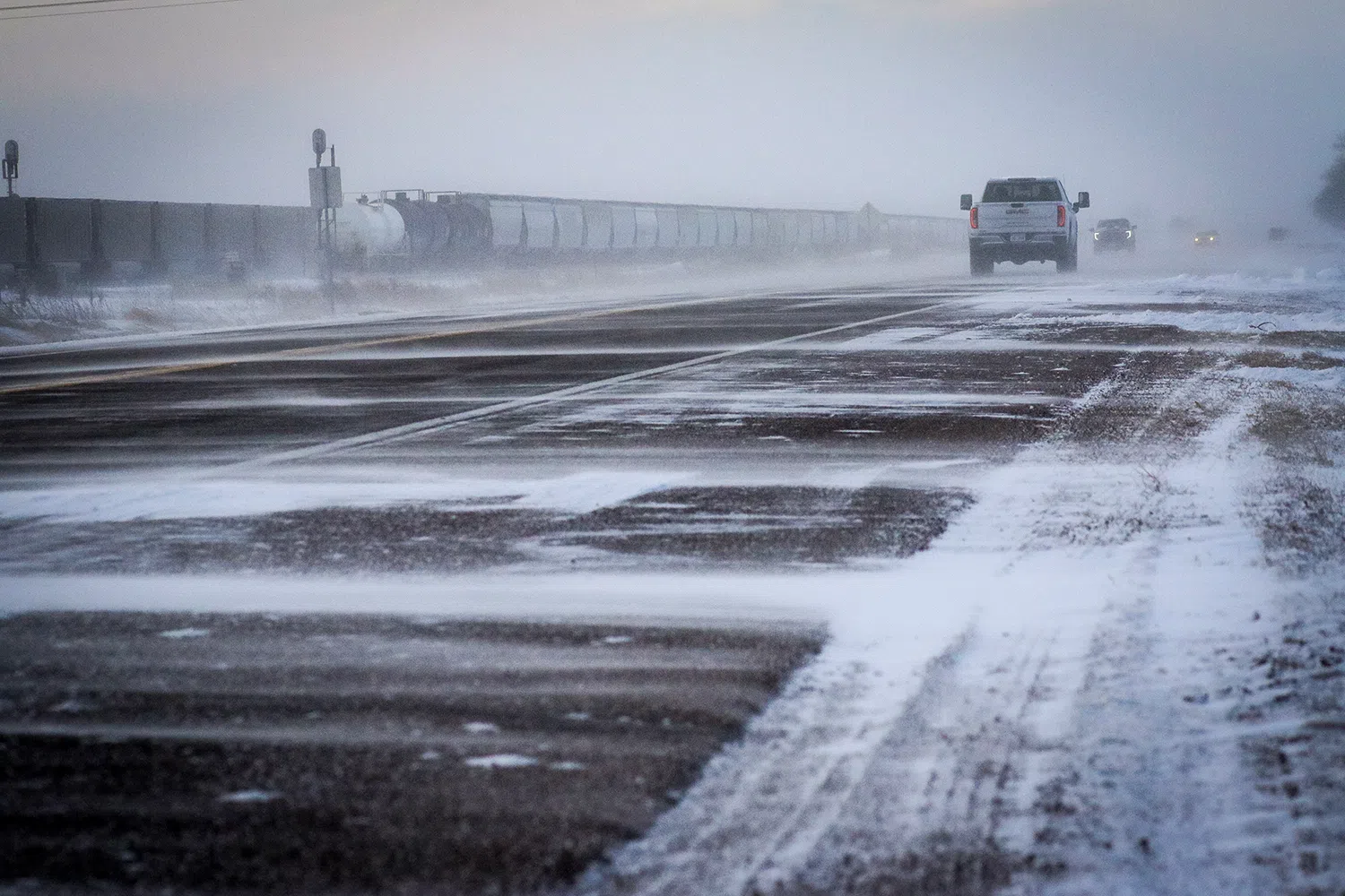
HASTINGS — There is potential for three different rounds of snow on Thursday, Friday and Saturday this week in central Nebraska.
According to the National Weather Service – Hastings, the majority of the area will remain dry through sunrise on Thursday, Jan. 8, with increasing clouds as a well-defined upper-level disturbance approaches from the southern Plains.
The disturbance will track northeast across the heart of the central Plains, spreading out an expansive shield of rain ahead of it.
The question stands; will dynamic cooling be enough on the north side of the rain band to cause a change over to wet and slushy snow during the afternoon and evening hours.
The forecast at the moment calls for no true snow accumulation, but other models are mixed on the type of precipitation on the north side of the rain shield. NWS Hastings notes that the forecast may have to pivot toward a higher snow potential if some model trends hold.
Any precipitation should largely depart by midnight, putting the area in a lull between upper-level systems.
While question Thursday will be if there will be any precipitation changeover, the question for Friday is if the local area will see any precipitation at all as the primary large scale upper-level trough of low-pressure tracks through the central United States.
Some models keep the area snow free, while others are more aggressive and feature some minimal snow accumulation. NWS Hastings states that conditions could range from a snowy afternoon and evening, to simply a chilly but snow free period.
Any remaining precipitation, likely in the form of snow, is expected to depart the area on Saturday, with temperatures slowly warming on Sunday.
Many areas, especially in south central Nebraska, may receive anywhere from a trace to nearly 2-3 inches of snow, during the three day time period.