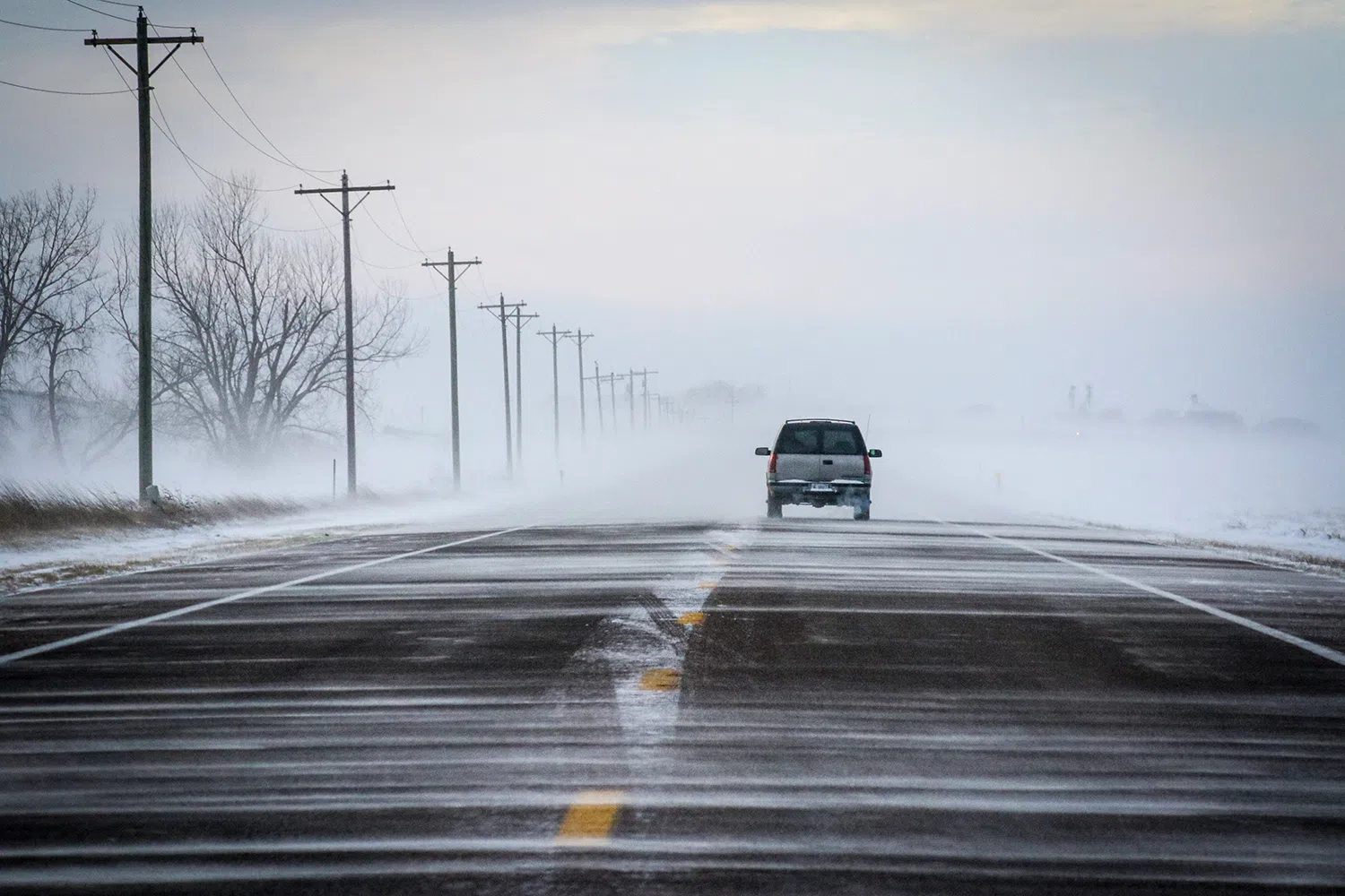
A ground blizzard in central Nebraska, (Brian Neben, Central Nebraska Today)
HASTINGS — Rain and snow is expected today into the evening hours, total snowfall amounts of a trace to 1-2 inches expected with a possibility for higher amounts.
Per the National Weather Service – Hastings, a rain shield ahead of an upper-level disturbance is currently moving into south central Nebraska.
“We are still expecting most, if not nearly all, of the forecast area to receive precipitation today into tonight. The area with the highest precipitation amounts still appears to be across north central Kansas and across mainly portions of south-central Nebraska that are south of I-80 and east of Highway 281,” NWS Hastings noted in a forecast discussion.
There is still some uncertainty in regard to total snowfall amounts as temperatures could still fluctuate.
The current expectation is for total amounts to be around a trace to 1-2 inches with higher amounts possible. It was noted that some areas may see no snowfall accumulation at all.
Most of the snowfall should be finished by midnight. Snowfall remains possible on Friday, but mainly across north central Kansas and little to no accumulation is expected.
Looking to Saturday, seasonable weather will continue with highs in the mid-30s and low 40s. A deepening surface low over the Midwest will result in northwest winds gusting to 25-35 mph.
Scattered snow showers are possible during the daytime hours, but any accumulation looks to be light, under one inch. However, falling snow combined with the wind could contribute to periods of reduced visibility.