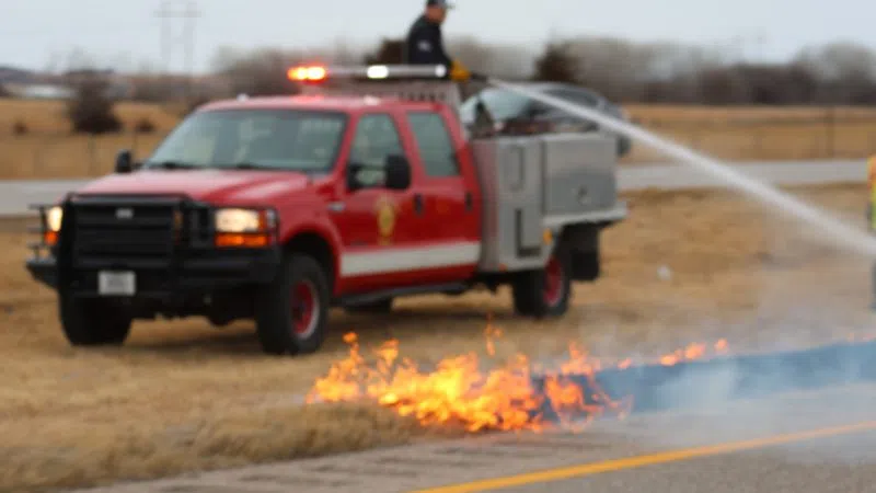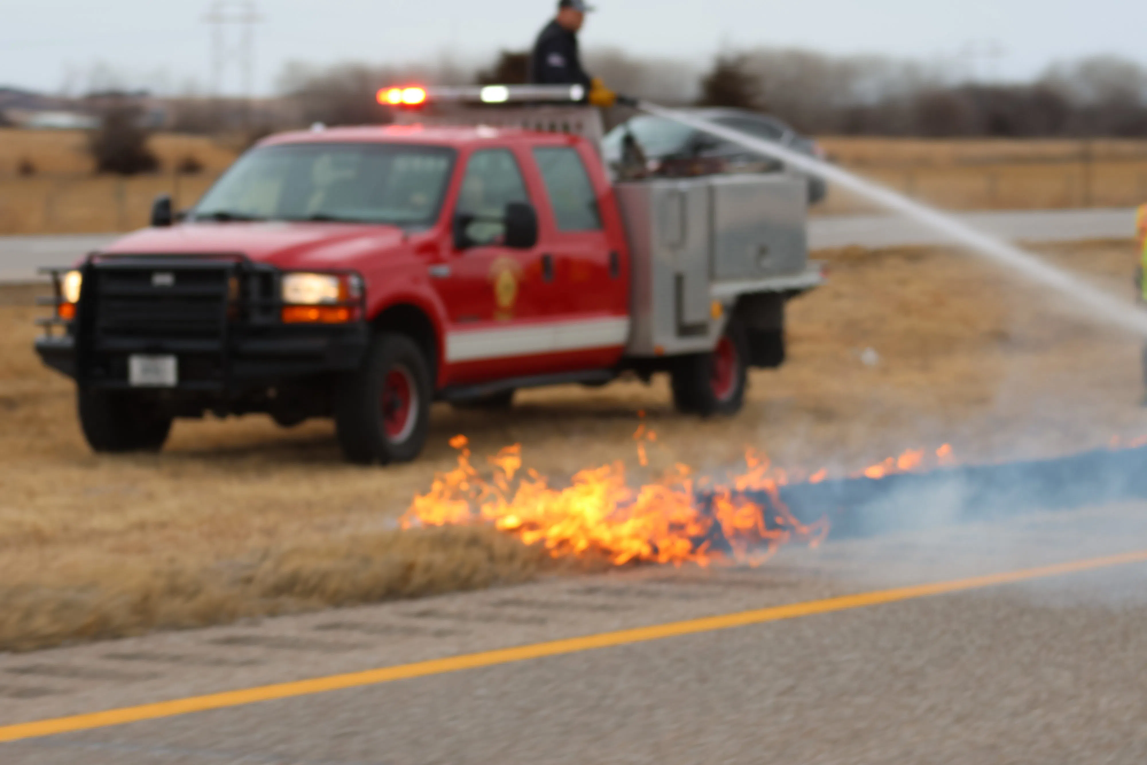
A grass fire occurs along Interstate 80 in central Nebraska, (Brian Neben, Central Nebraska Today)
LEXINGTON — Near critical fire weather conditions are possible across areas along and west of Highway 183 during the afternoon hours of Monday. Thursday looks to feature the highest fire weather concern.
According to the National Weather Service – Hastings, well above normal temperatures will be in place across central Nebraska, with highs in the 70s to low 80s.
By the afternoon, relative humidity values will drop into the 15 to 25 percent range, lowest along and southwest of a line reaching from Kearney to Hebron.
Westerly winds look to remain below 20 mph east of Highway 281, which will limit fire concerns in the eastern part of the region. However, out west, a period of gusting winds around 20-25 mph will result in near critical fire weather conditions.
This does look like a brief and more localized period of fire weather concern this afternoon. NWS Hastings notes that near critical fire weather is characterized by the overlap of relative humidity values lower than 25 percent and wind gusts in 15-20 mph or higher.
By Wednesday, northerly winds will gust around 25-35 mph, however there will be cooler temperatures in the upper 40s and low 50s, which will keep relative humidity values from dropping too far.
Still, there could be another isolated period of fire weather, again along and west of Highway 183 being the most likely area.
Thursday looks to be the day with the highest level of fire weather concerns. Highs will be in the 70s and relative humidity will plummet to 10 to 25 percent across much of the region. Southerly winds gusting to 25-35 mph will result in widespread critical fire weather concerns.
By Friday and Saturday, breezy conditions during the afternoon hours and low humidity levels will again result in near critical fire weather conditions.