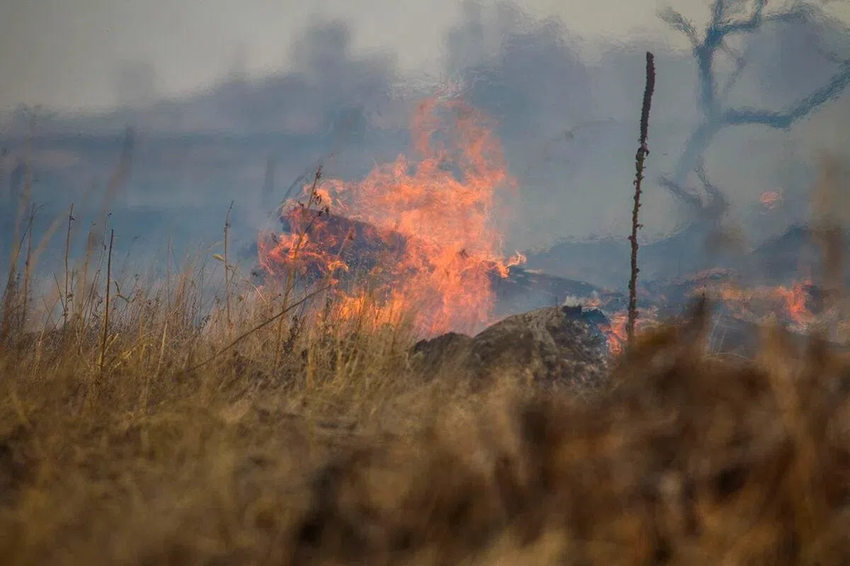
Grass fire in progress, (Brian Neben, Courtesy)
HASTINGS — It will continue to feel like spring as above normal temperatures continue throughout the week, but the overall fire weather threat is also starting to increase.
Winds will decrease on Wednesday as the area surface of high pressure moves through the area.
Increasing clouds ahead of the next shortwave trough to the west may limit the warmup, but temperatures should still reach the mid-60s for most of the area.
Factoring in the light winds, this may feel like the most pleasant day of 2024 so far, according to the National Weather Service – Hastings.
There looks to be the possibility of sprinkles and rain Wednesday night, but there is less than a 20 percent chance for even 0.01 inches.
With the abundant cloud cover, Thursday morning looks to be warm and could break the record warm minimum temperatures at Hastings, 37 degrees. The rest of Thursday and Friday look to be cooler, but not cold, with highs in the 50s, NWS Hastings notes.
The lack of precipitation and the overall warm temperatures are contributing to an increase in the near-critical fire weather conditions over the weekend and into early next week.
The four critical weather elements that produce extreme fire behavior are low relative humidity, strong surface wind, unstable air, and drought.
Upper troughing exits the eastern United States over the weekend, allowing temperatures to return to the 60s. Temperatures could even reach the 70s on Monday ahead of an approaching storm system coming in from the west.