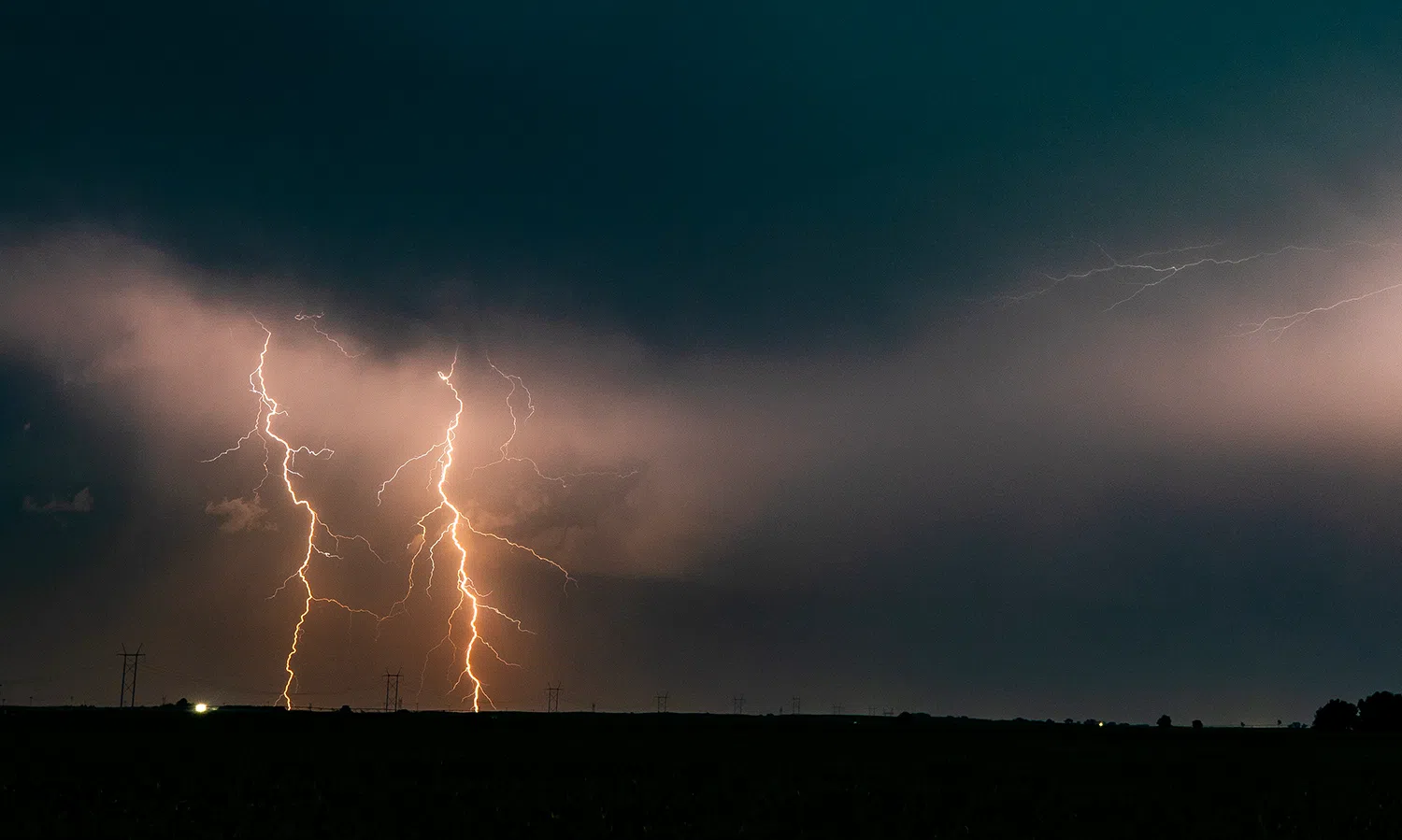
Two cloud-to-ground lightning strikes occur north of Holdrege during the evening of Sunday, June 16, (Brian Neben, Central Nebraska Today)
HASTINGS — Scattered showers and thunderstorms are possible today across central Nebraska, representing the best precipitation chances in almost a month.
An initial string of storms along a weak cold front are moving through the Tri-City area. The weaker instability will be expected to increase today during peak heating, around 1-5 p.m.
Additional scattered and potentially severe storms may develop later on, around 1-7 p.m., forming behind the initial flanking line as the weak cold front moves through the National Weather Service – Hastings’ warning area.
These more isolated storms will have a greater chance of becoming severe. Overall, widespread rainfall amounts could range from 0.25 to 0.75 inches where the strongest cell downburst track.
Highs will rebound and be back into the mid-70s and lower 80s by Tuesday with cloud coverage clearing out behind the exiting system. Winds will be between 10-20 mph with some gusts as high as 25 mph.
Cooler air will mix into the area on Wednesday with highs only reaching the mid-60s and lower 70s.
A rapidly adjusting pressure gradient moving north and south will lead to a warm up on Thursday, low 80s for a high, followed by cooler temperatures Friday and heading into the weekend.