BUFFALO CO. — A severe warned thunderstorm rolled through Buffalo County during the evening of Tuesday, July 29.
While severe winds up to 65 mph were recorded in Loup City and resulted in tree limb damage and shingles being blown off of homes, the event was less impactful that the thunderstorm complex that occurred on July 23 and knocked out power for over 3,000 Dawson Public Power District customers during the evening.
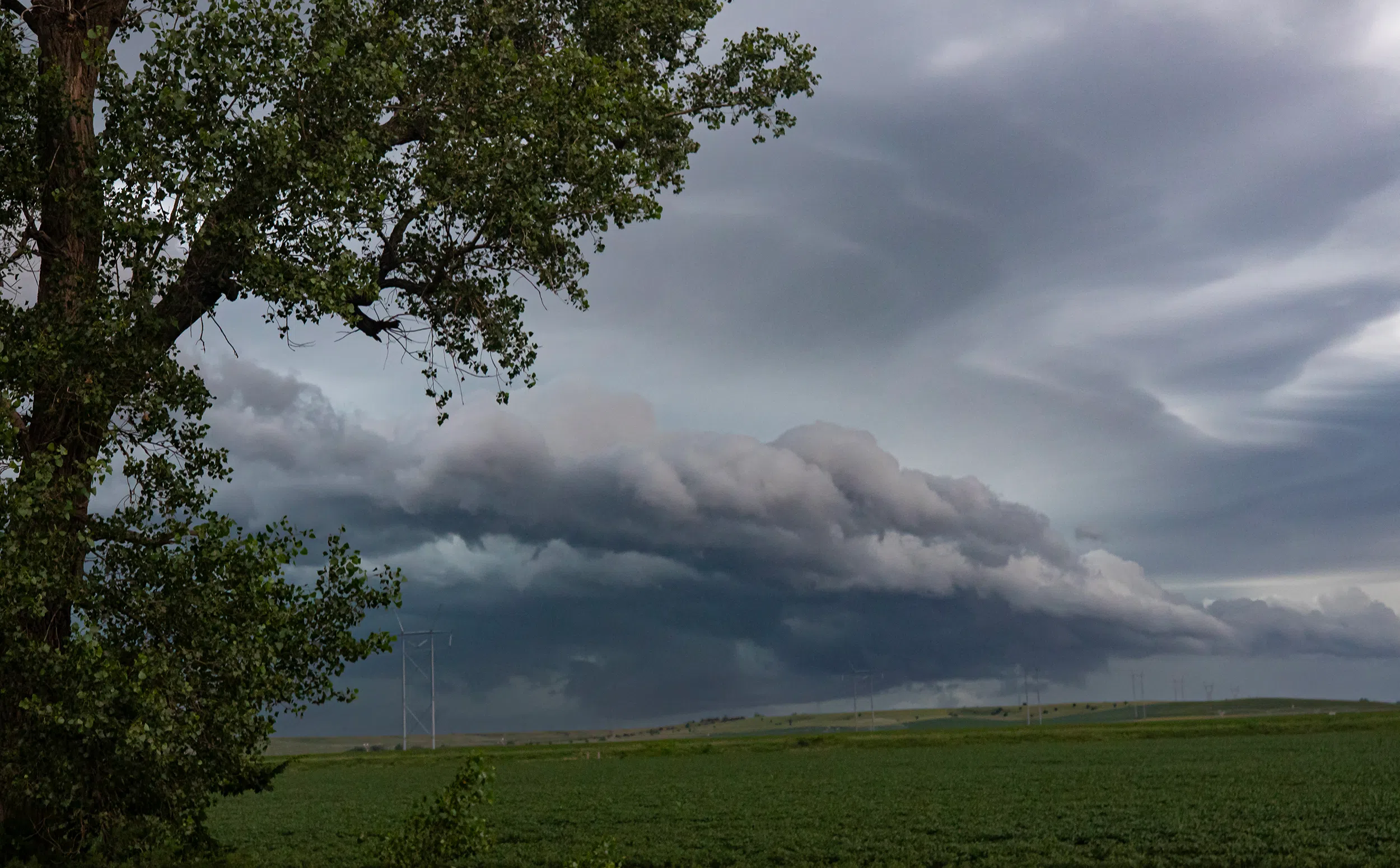
The photos here show clear outflow dominant structure from the approaching storm. The “edge” of the outflow boundary can often be detected by Doppler radar. Convergence occurs along the leading edge of the downdraft. Convergence of dust, aerosols, and bugs at the leading edge will lead to a higher clear air signature.
Clouds and new thunderstorms also develop along the outflow’s leading edge. This makes it possible to locate the outflow boundary when using precipitation mode on a weather radar. Also, it makes outflow boundaries findable within visible satellite imagery as a thin line of cumuliform clouds which is known as an arcus, or arc, cloud. Often, the outflow boundary will bow in the direction it is moving the quickest.
Photos by Brian Neben, Courtesy