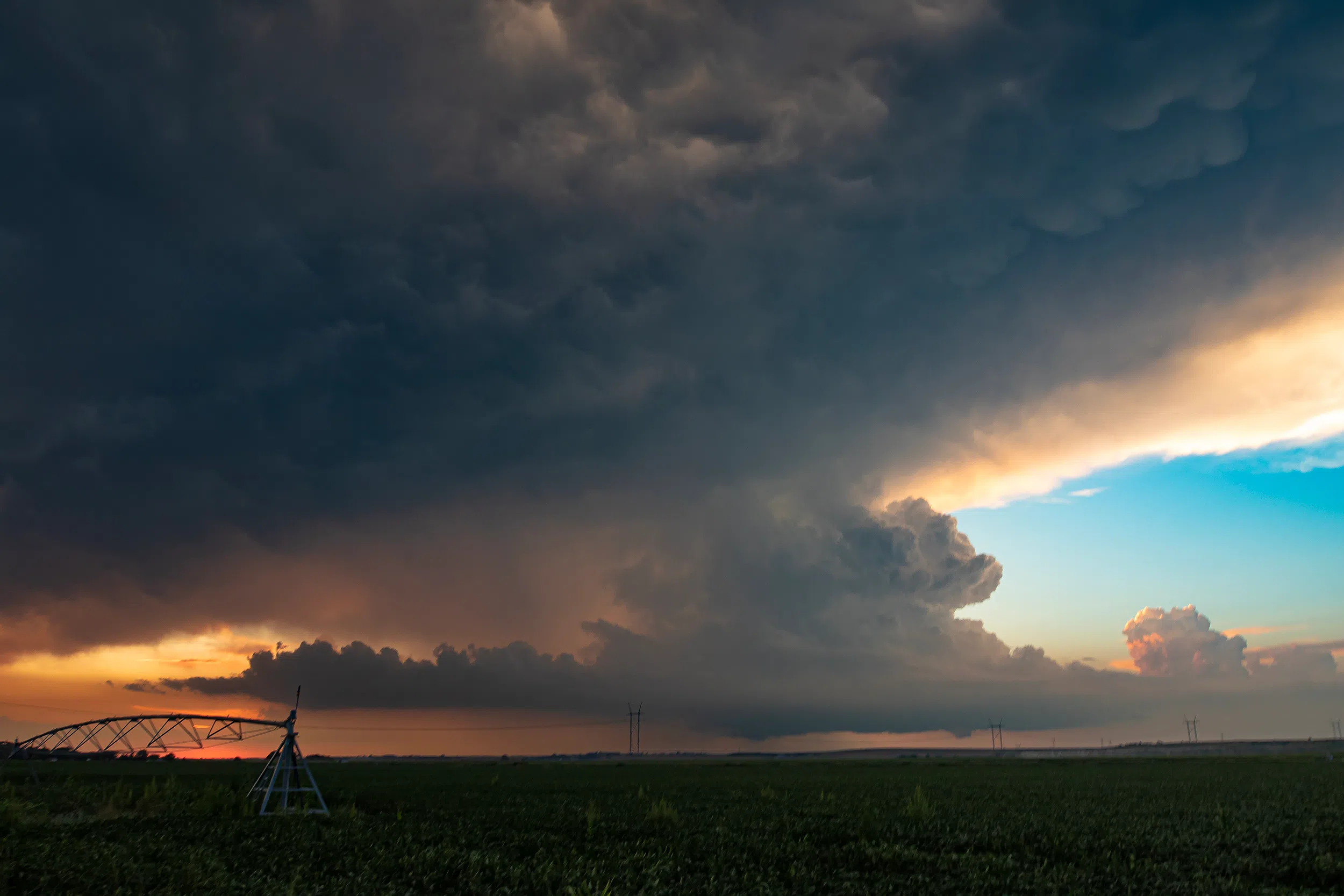
KEARNEY — A lone thunderstorm occurred in Dawson County during the evening hours of Tuesday, Aug. 19. As the sun dipped below the horizon the storm faded and lost strength before gusting out.
A pulse storm is a single cell thunderstorm of substantial intensity which only produces severe weather for short periods of time. Such a storm weakens and then generates another short burst – hence “pulse”.
Single cell thunderstorms ordinarily form in environments with low wind shear and moderate instability, with the low wind shear contributing to a short average lifespan of less than an hour.
One can distinguish three stages in the evolution of a pulse storm:
- Formation: the upward current of the cell intensifies and allows the condensation of water vapor from the rising air parcel. This forms a cumulus congestus or a towering cumulus, then a cumulonimbus when ice crystals form at its apex which spreads horizontally in contact with the tropopause.
- Maturity: downdrafts are emerging. This stage is accompanied by characteristic phenomena such as lightning and thunder, showers, and gust front.
- Dissipation: the cold pool descending from the cloud extends to the Earth’s surface and helps to block the feed by pushing the updraft downstream. The outflow can then serve as a trigger for other single cell or even multi-cell thunderstorms to develop because the Outflow boundary is a lifting mechanism for updrafts because it can force more warm humid air into the atmosphere.