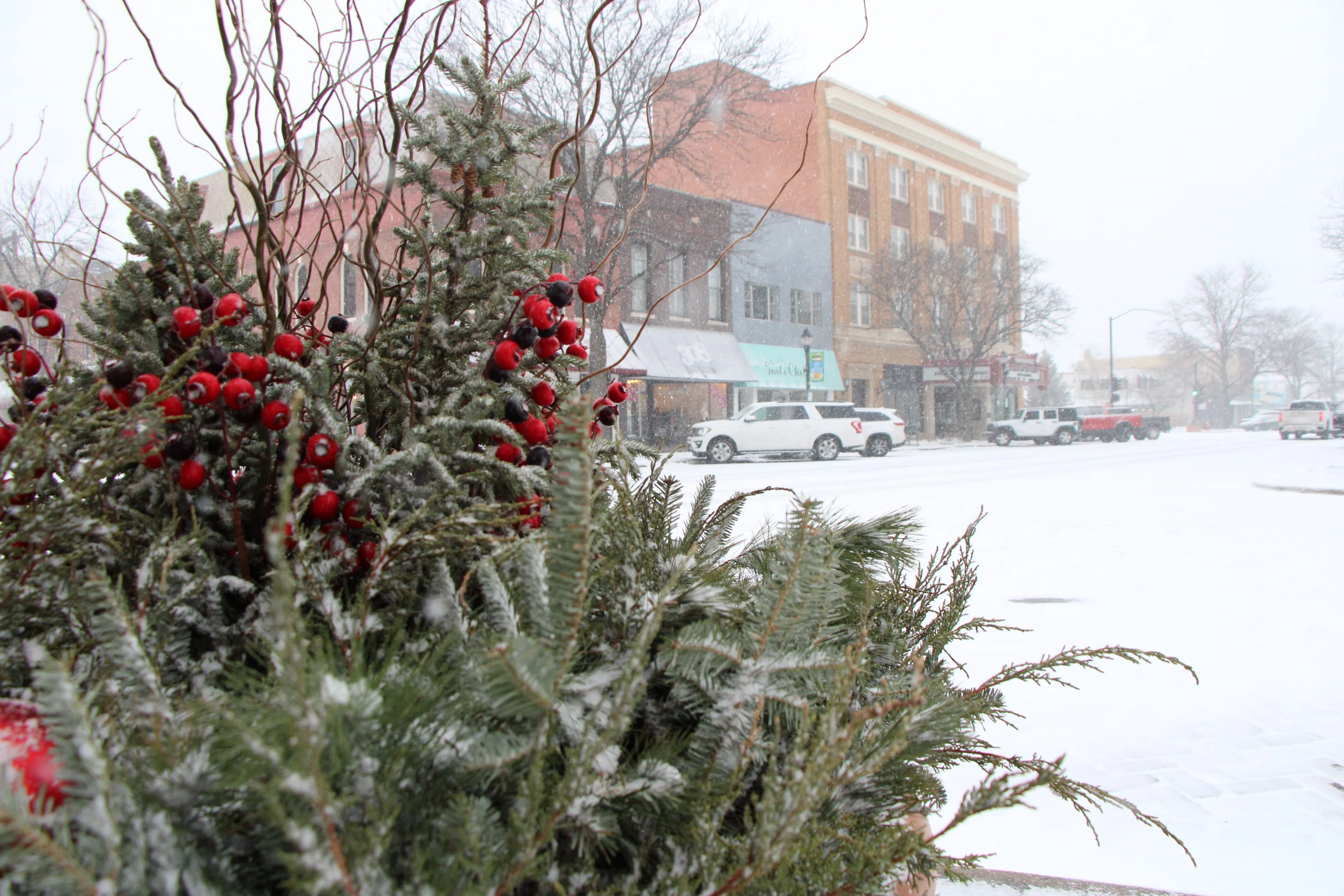
HASTINGS — Winter feels like it has arrived with snow over the weekend and the cold will follow. Wednesday looks to feature the coldest night of the work week as temperatures plummet near zero.
Temperatures during the daytime will be more up and down, with some moderation on Tuesday with some limited melting snow in areas that saw accumulation, according to the National Weather Service – Hastings.
A strong cold front will move through the region early Wednesday. Winds out of the north will increase and wind chills will drop.
“Temperatures drop further Wednesday night with high pressure quickly settling in the area with clear skies and light winds. Portions of south-central Nebraska north and east of Grand Island will likely drop below zero Wednesday night,” per NWS Hastings.
As a result, wind chills on Thursday morning are currently forecast to range between minus 12 to four degrees. However, following the cold start to Thursday, there will be some warmup on Friday and Saturday.
Yet another cold front looks to sweep through the Plains late Saturday into Sunday and could result in some trace precipitation.
Looking at the next 10–15-day period and beyond, models are trending colder, but it looks like there will be more seasonable temperatures around mid-month.
“The overall pattern in December still settles on cooler than normal overall. It appears to be a more
active weather pattern in general, with more weather systems, but the flow leans toward a west/northwest flow, and that doesn’t necessarily support a lot of precipitation. The next couple weeks look fairly void of major storm systems,” per NWS Hastings.