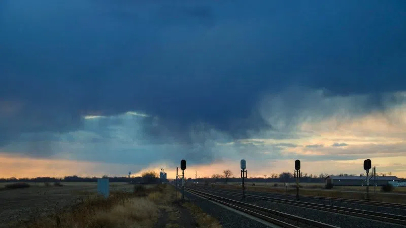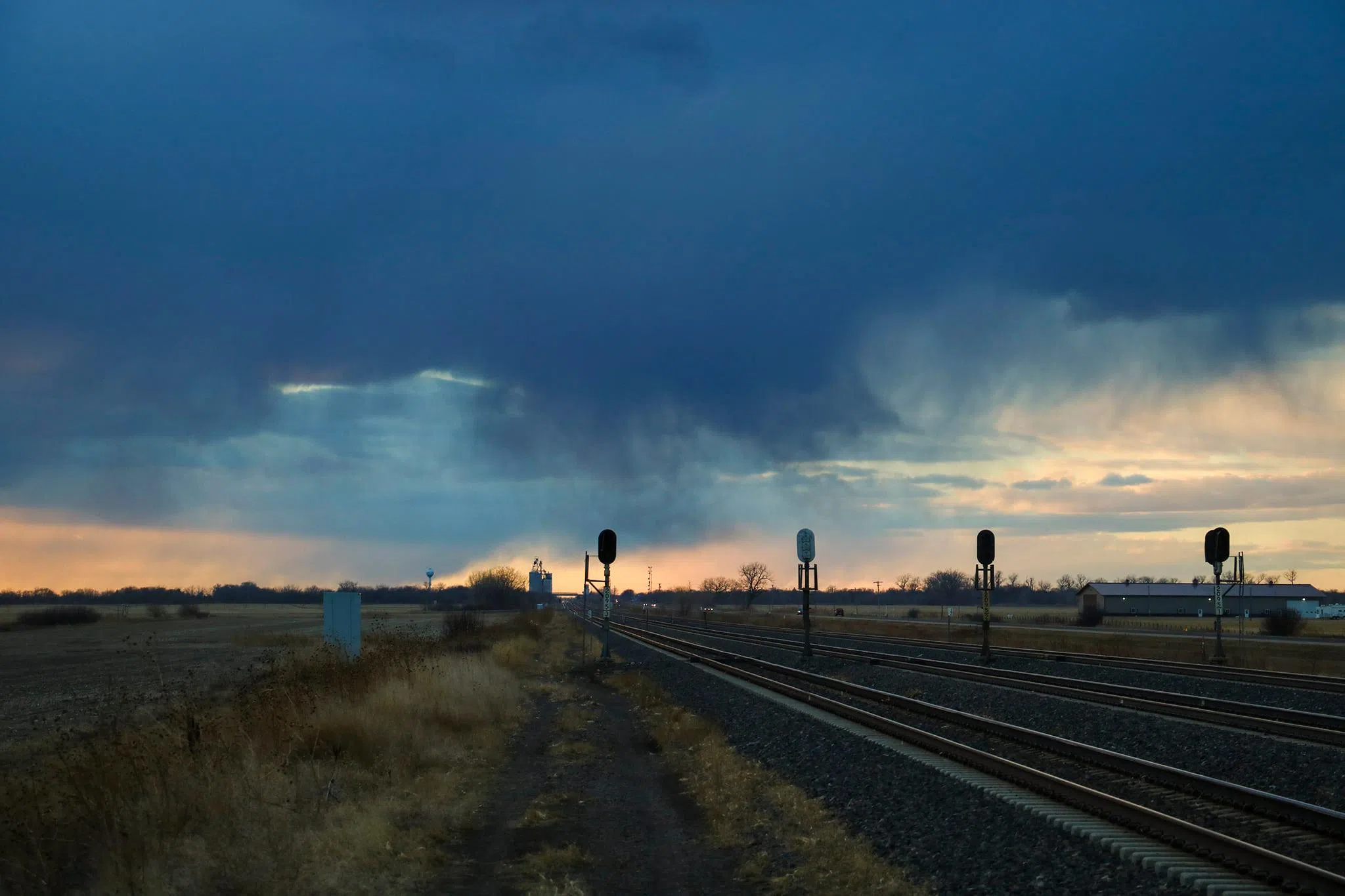
Rain curtains and virga in central Nebraska, (Brian Neben, Courtesy)
HASTINGS — A pattern shift in the upper-level flow of the atmosphere is contributing to an increase in modest precipitation amounts across central Nebraska from Tuesday through Thursday.
According to the National Weather Service – Hastings, while Monday will see highs near records as they climb into the upper 80s, a cold front passage on Tuesday will drop temperatures 20 to 30 degrees.
The change in the pattern will see an upper-level ridge of high pressure move to the east and a trough of low pressure will set up over the western United States. The features that bear watching are several shortwave disturbances passing through the overall southwest flow.
The first will cross the northern Plains on Tuesday, followed by a second disturbance over the central Plains on Wednesday. A cold front, currently strengthening under the first wave, will be pushed to the southeast overnight.
The cold front is expected to reach central Nebraska and northern Kansas by early Tuesday morning.
Due to the front, there is an increasing chance for precipitation potential Tuesday evening into Wednesday, with a possible rain and snow mix during the overnight hours.
Snow accumulation amounts of a trace to a few tenths of an inch are possible for northwest parts of the region during the overnight hours of Tuesday. The best potential looks to be north and west of the Tri-Cities.
Due to temperatures expected to remain above freezing for much of Wednesday, highs in the 40s to low 50s, a majority of precipitation will come in the form of rain.
Between 0.25 and 0.75 inches of precipitation could fall across central Nebraska from Tuesday night through Thursday.