Brian Neben, Central Nebraska Today
GRAND ISLAND — For a moment on Sunday, the wind chill in Grand Island dropped lower than that of the South Pole in Antarctica.
The National Weather Service – Hastings noted that as of 1:30 a.m. on Sunday, Jan. 14, the wind chill at Grand Island was -41 degrees, which was colder than the wind chill at the South Pole.
The Amundsen-Scott South Pole Station recorded -38 degrees. NWS Hastings did note, it is currently the middle of the summer in Antarctica. For context, the average actual air temperature at the station is -77.
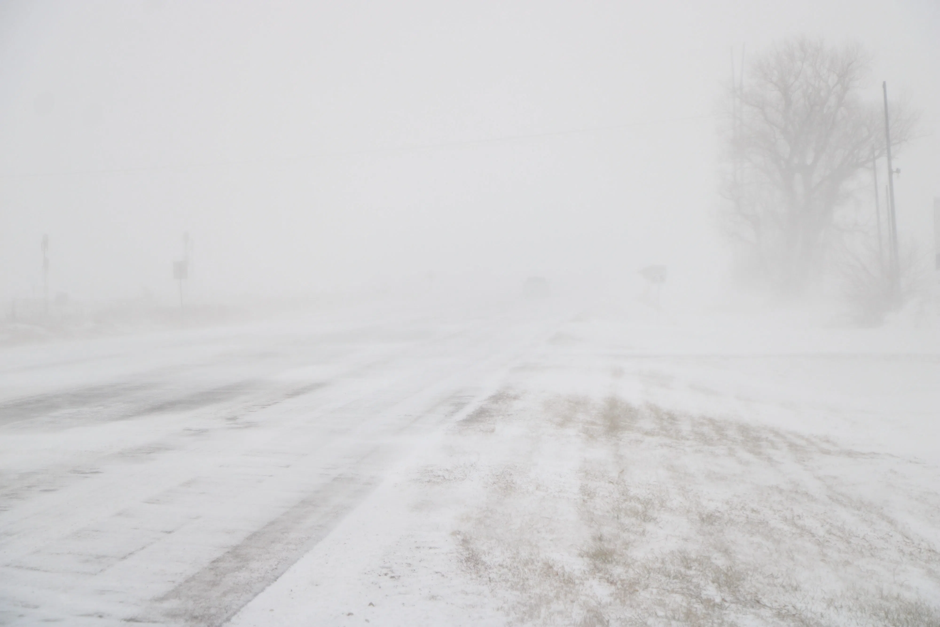
Nebraska has been enduring a stretch of brutally cold weather, with actual air temperature hovering around zero and wind chills well below that.
The record cold max temperatures were set at both Grand Island and Hastings on Saturday.
The Grand Island Airport only reached -1 on Saturday, this set the new record for the coldest high temperature. The old record was 4.0 degrees set in 1912 and 1979.
The Hastings Airport only hit -2 degrees on Saturday and set a record. The old record was -1 set in 1916.
Records continued to tumble, on Sunday at 6 a.m., the Grand Island Airport recorded a low temperature of -17 degrees. The prior record was -13 degrees, set in 1972.
Record cold temperatures on Sunday also hit new lows.
The Grand Island Airport only reached -3 on Sunday, the old record was 1.0 degree set in 1979 and 2005. The Hastings Airport recorded -2, the last record set in 2005 with 3.0 degrees.
At 6 a.m. on Sunday, the Grand Island Regional Airport recorded a low temperature of -17 degrees, which broke the cold record, -13, which was set on the same day in 1972.
The minimum wind chills on Sunday were -43 at the Aurora Airport, -42 north of Ord, -37 at the Kearney and Hastings airports and -33 at Holdrege, Axtell and Overton.
A Wind Chill Warning remains in place across the entire NWS Hastings forecast area until noon Tuesday. Wind chills will still be in the -25 to -35 degree range.
Snow also continued to fall across the area, totals over Thursday, Friday and Saturday included 7.7 inches at Hastings, 7.1 at Grand Island, 5.1 Miller, 4.2 at St. Paul, 4.0 at Loup City and 3.0 at Minden.
Looking ahead, Tuesday will feature highs in the teens and the slight warming trend continues Wednesday with highs climbing into the 20s.
“Unfortunately, a fast-moving shortwave and cold front arrives Wednesday night, bringing us colder air and a good chance for snow Wednesday night through Thursday,” NWS Hastings notes.
There is a 40-50 percent chance for an inch or more of snow for areas north of Interstate 80.
Luckily, this cold front won’t pack quite as much cold air but there will still be sub-zero temperatures on Thursday and Friday nights.
Upper-level high pressure ridging, and southerly surface winds will return over the weekend, potentially allowing temperatures to reach the 30s by early next week.