The Storm Prediction Center, located in Norman, Okla., issues daily thunderstorm forecasts for the United States, (Brian Neben, Courtesy)
HASTINGS — Emergency managers joke that a disaster site is no place to trade business cards. A similar sentiment could be said for those in the path of severe weather, that is no time to think about one’s safety plan for the first time.
Understanding the risk of severe weather is key to planning and staying safe if a threat does develop.
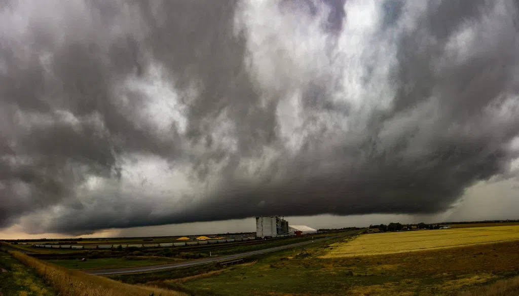
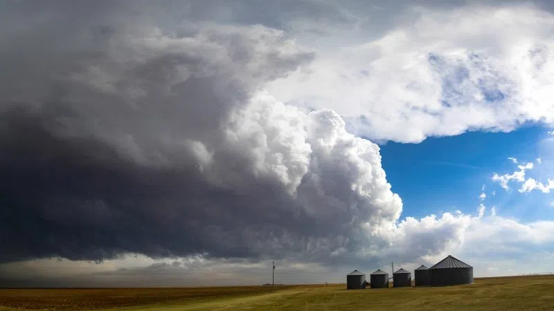
The National Weather Service defines a severe thunderstorm as any that produces one or more of following elements: a tornado, damaging winds in excess of 58 mph and hail one inch in diameter or greater.
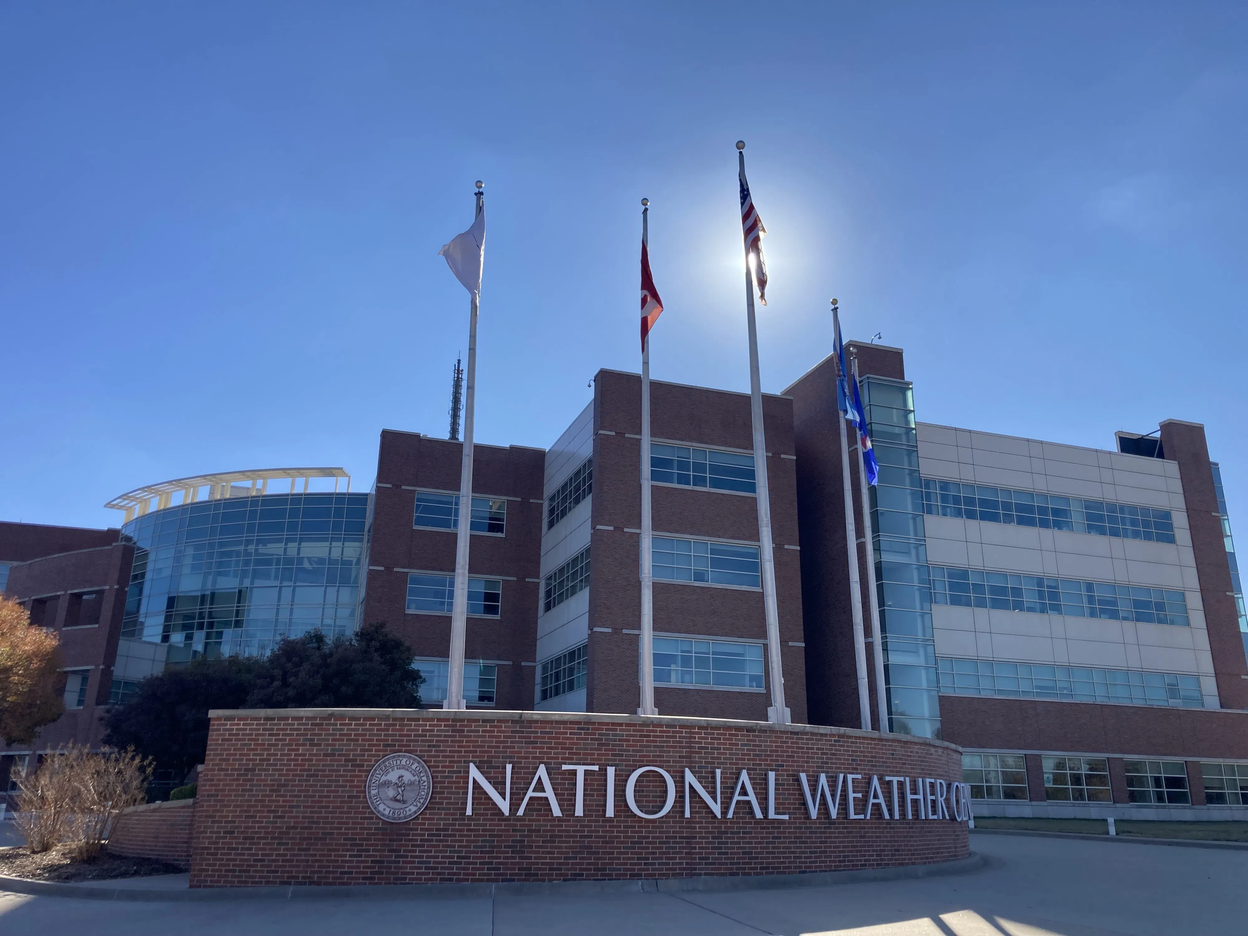
Daily, the Storm Prediction Center, (SPC) in Norman, Okla., issues severe thunderstorm risk categories over appropriate areas of the country. There are five different levels of risk and they each denote differently how widespread and hazardous the weather could be.
SPC issues Day One, Day Two, and Day Three Convective Outlooks that depict non-severe thunderstorm areas and severe thunderstorm threats across the contiguous United States, along with a text narrative.
The lowest category is just simply the label, “Thunderstorms,” and will be shaded light green on the map. This means thunderstorms are possible, but they are not expected to be severe. However, it is important to note that lightning and flooding threats exist with all thunderstorms.
The next is “1 – Marginal,” and is shaded dark green on the map. This indicates that isolated severe thunderstorms are possible, they will be limited in duration, coverage and intensity.
A step up is, “2- Slight,” and will be shaded yellow on the map. This category is for the possibility for scattered severe storms. They are expected to be short lived and not widespread, but isolated intense storms are possible.
The next one is, “3 – Enhanced,” and will be shaded orange on a map. This includes the possibility of numerous severe storms. They will be more persistent and widespread with a few particularly intense storms.
The penultimate category is, “4 – Moderate,” and is shaded red on the map. Per the National Weather Service, this category may only be issued a handful of times per year. Widespread severe storms are likely and are expected to be long-lived, widespread and intense.
The final category is, “5 – High,” and is shaded purple/magenta on the map. This category is reserved for conditions that will promote widespread severe storms that are expected to be long-lived, very widespread and particularly intense.
“When conditions become favorable for organized severe thunderstorms or tornadoes to develop, the SPC issues a Severe Thunderstorm or Tornado Watch. A tornado can occur in either type of watch, but Tornado Watches are issued when conditions are favorable for either multiple tornadoes or a single intense tornado,” per the SPC.
“Watches encourage the general public to stay alert for changing weather conditions and probable warnings. For emergency managers, storm spotters, and the broadcast media, watches provide valuable lead time to gear up operations and increase staffing,” the SPC states.
“A typical watch ranges in size from 20,000 to 40,000 square miles, though some are smaller and others larger, depending on the meteorological situation. A typical watch duration is 6-8 hours, but it may be canceled, extended in time or space, or replaced as required. Watches are canceled and extended only at local NWS offices, in consultation with SPC. A watch is not a warning and should not be interpreted as a guarantee that there will be severe weather,” the SPC states.
What is the difference between a watch and a warning?
- Watch: Issued when conditions are favorable for a particular severe weather hazard within the next several hours.
- Warning: Issued when a particular severe weather hazard is imminent or occurring. Take immediate action to protect life and property.
The different types of severe weather to be prepared for include,
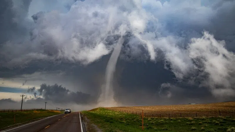
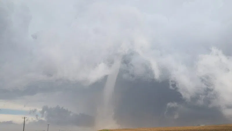
- Tornado: A violently rotating column of air extending from a thunderstorm cloud to the ground. The Enhanced Fujita Tornado Intensity Scale is used to categorize tornadoes.
- Severe Thunderstorm: A thunderstorm that produces a tornado, damaging winds of 58 mph or higher, and/or quarter, one inch size hail or larger.
- Flash Flood: a flood which will create an immediate threat to life or property.
- High Wind: A High Wind Warning is issued for sustained winds of 40 mph or wind gusts of 58 mph.
“The National Weather Service, in cooperation with the broadcast media and your local spotter system, will provide you with the warnings you need to quickly respond. If you listen to the media, you’ll know when a storm is approaching your area and if you need to take protective action,” per the Nebraska Emergency Management Agency, (NEMA).
“NOAA Weather Radios are the best warning system for all kinds of emergencies, including severe storms. These inexpensive devices are recommended as the primary warning system for everyone,” NEMA states.
“NOAA Weather Radio All Hazards (NWR) is a nationwide network of radio stations broadcasting continuous weather information directly from the nearest National Weather Service office. NWR broadcasts official Weather Service warnings, watches, forecasts and other hazard information 24 hours a day, 7 days a week,” the NWS notes.
Coverage information and SAME Codes for every county in Nebraska can be found at https://www.weather.gov/nwr/nebraska .
“Don’t wait until an emergency siren sounds to start looking for flashlights and other things. Make sure the entire family knows where to go at home, at work, in school, at the mall or anywhere they might be when the storms strike. Know where you will take shelter,” NEMA states.
The NWS offers different tips for what to do if severe weather is threatening:
Before Storms Develop
Check the Hazardous Weather Outlook:
The Hazardous Weather Outlook (HWO) can tell you when thunderstorms are expected to hit, where the best chance of severe weather will be, and it will provide a brief discussion of what is expected to happen.
Check Your Kit:
If you have a severe weather safety kit and/or NOAA All-Hazards Radio, you should make sure that everything has fresh batteries that work. You should check your radio, flashlight, etc. because they may become necessary later in the day. Make sure your cell phone is fully charged in case you lose power. If you don’t have a severe weather safety kit, here are some suggestions to get you started:
Review Your Safety Plan:
If you have a severe weather safety plan you should review it. Make sure everyone in your family knows what to do in certain situations. Know where everyone will be during the day and make it clear what to do if severe weather impacts your location. Know where to seek shelter beforehand! If you don’t have a tornado safety plan, review some safety tips and suggestions.
Have at least three ways to get a warning:
Whether it be via local television, our web page, an app on your mobile device, AM/FM radio, the Internet, NOAA All-Hazards Radio, etc., continue to monitor weather information during the day for any changes in the situation. Set up a routine (i.e. check the weather information every hour on the hour). If you have access to the Internet or a NOAA Weather Radio, the NWS San Angelo Hazardous Weather Outlook will be updated at 5 AM and Noon daily, and the graphics on the web page are updated as warranted.
Watch Is Issued
Watches may be issued hours before a storm. The sky may be sunny when you first hear a tornado or severe thunderstorm watch. Remember, a watch just means that conditions are favorable for severe thunderstorms and/or tornadoes.
Check Weather Information Again:
Don’t be caught off guard! While watches may be issued before storms form, thunderstorms may be developing when the watch is posted, or thunderstorms may be ongoing and moving into the area. By checking the weather information again, you will be aware of what is going on around you.
Make Sure Your NOAA Weather Radio is Turned On
If your NOAA All-Hazards Radio was not already turned on, you should definitely make sure that it’s on and the batteries are still working when a watch is issued. The radio will alert you if a warning is issued, so it is vital to have it on and working correctly.
Severe Thunderstorm Warning Is Issued
Do not ignore severe thunderstorm warnings. Severe thunderstorm warnings often precede tornado warnings, providing you with extra time to prepare for a dangerous storm. If there’s a severe thunderstorm headed your way, you should monitor it closely, especially if a tornado watch is also in effect.
Move Indoors and Away From Windows:
Again, do not ignore severe thunderstorm warnings. Severe thunderstorms can produce damaging straight-line winds and large hail. It is important to move inside a sturdy structure and stay away from windows.
Monitor Weather Information Continuously:
Severe thunderstorms can and do produce tornadoes. Whatever method you use to stay up-to-date on severe weather information, make sure you do so. Being aware of what’s going on around you is very important.
Tornado Warning Is Issued
Tornado warnings contain information that lists the cities and towns in the path of a tornado. While your National Weather Service strives to provide the most detailed and accurate information possible, there may be occasions when your small town or community is in the path of a dangerous storm, but is not listed in the warning text.
This also holds true for television path forecasts. You should be cautious when using detailed forecasts of time and location. Because of the way radar works and how storms behave, these times and locations could be off by several minutes and several miles. Allow yourself plenty of time to get to your tornado shelter.